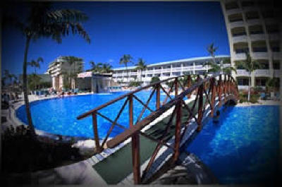
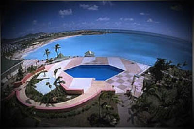
About the Country:
OFFICIAL NAME:
Netherlands Antilles
CAPITAL:
Willemstad
SYSTEM OF
GOVERNMENT:
Overseas Territory of the Netherlands
AREA:
1,020 Sq Km (394 Sq Mi)
ESTIMATED 2000
POPULATION
213,900
LOCATION & GEOGRAPHY:
The
Netherlands Antilles consists of two groups of islands in the
Caribbean Sea. The leeward group of islands are Curacao and
Bonaire while the windward group of islands are St. Martin, St.
Eustatius and Saba. Curacao which is composed of coralline
limestone is a low hilly island of volcanic origin with little
vegetation. There are no permanent rivers on any of the islands.
Major Cities; Willemstad 125,000 (1985). Land Use;
agricultural-cultivated 8%, other 92% (1989).
CLIMATE:
The Netherlands
Antilles has a tropical maritime climate. Average annual
precipitation is 560 mm (22 inches ) on the leeward group of
islands and 1,000 mm (39 inches) on the windward group of
islands. There is also a short rainy season from October to
January. Average temperature ranges are from 24 degrees Celsius
(76 degrees Fahrenheit) to 32 degrees Celsius (90 degrees
Fahrenheit) all year.
CURRENCY:
The official currency
is the Antillean Guilder (NAG) divided into 100 Cents.